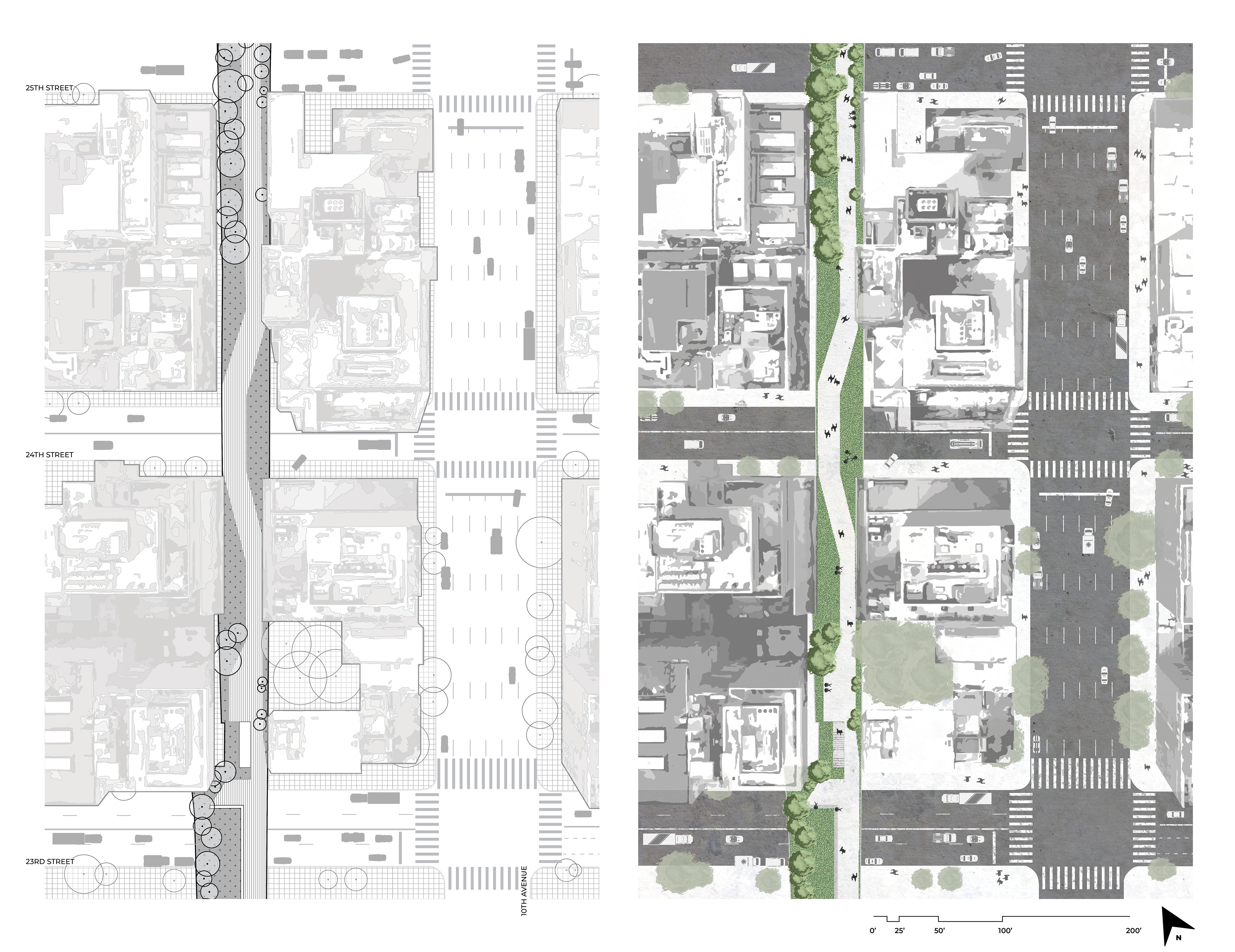
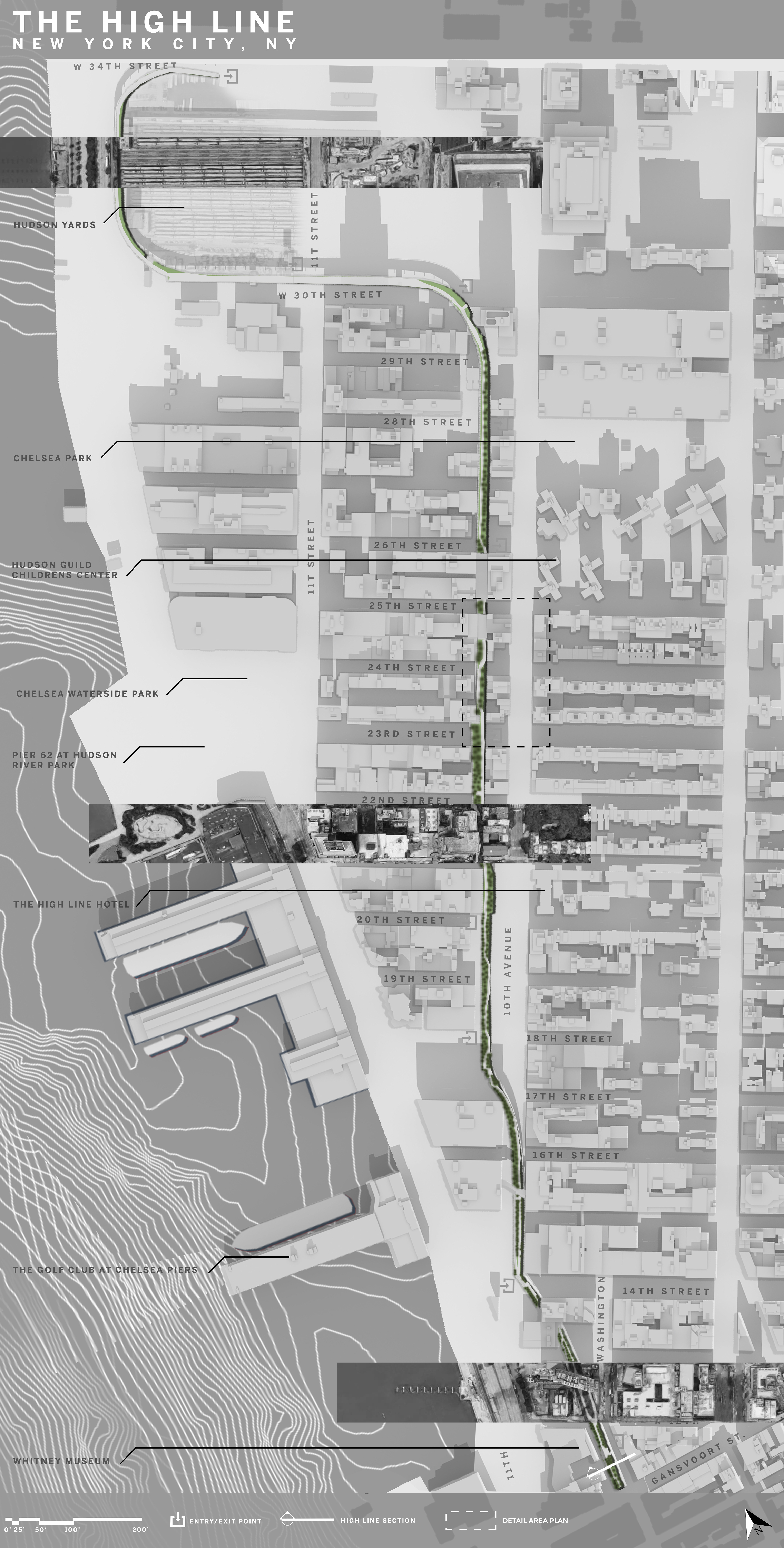
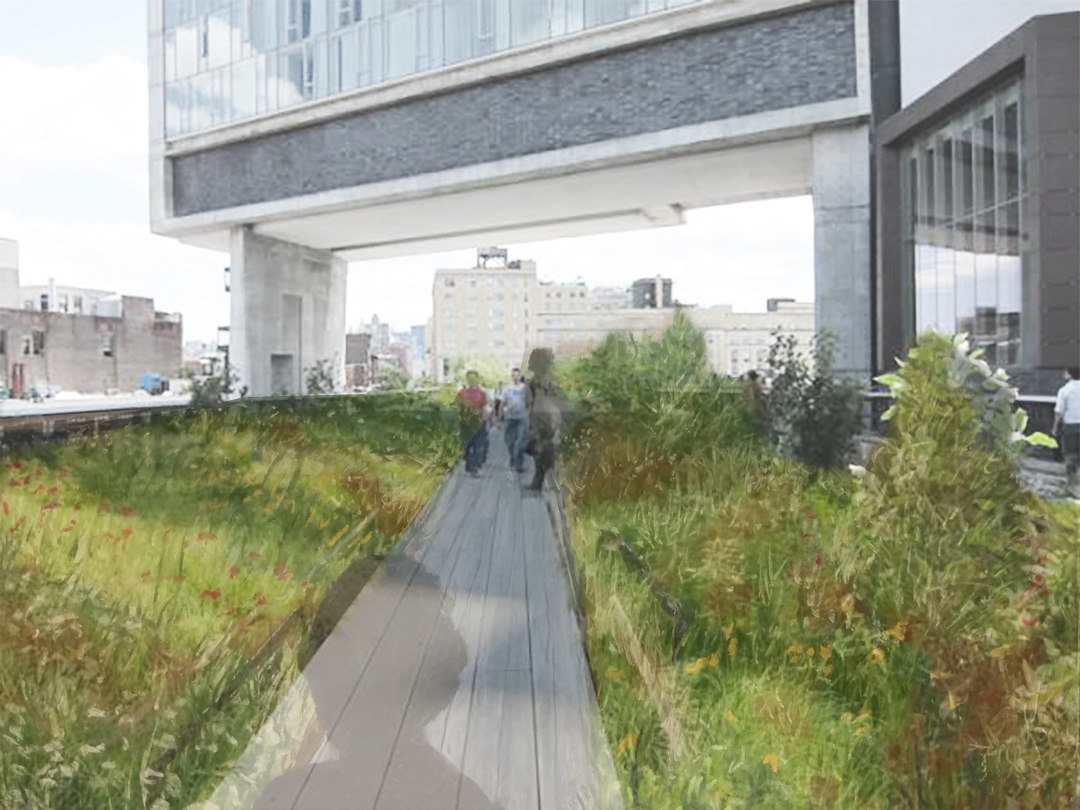
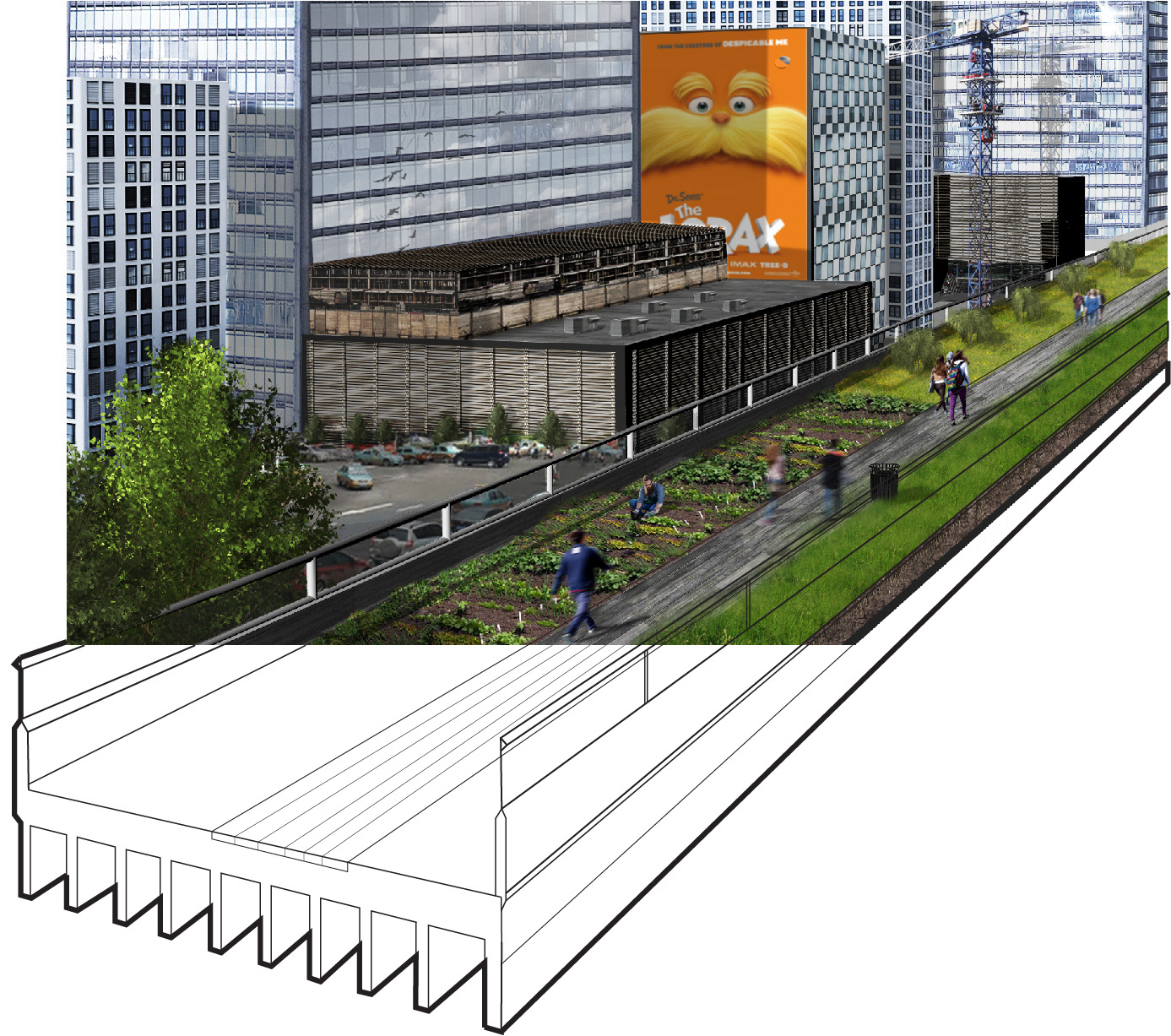
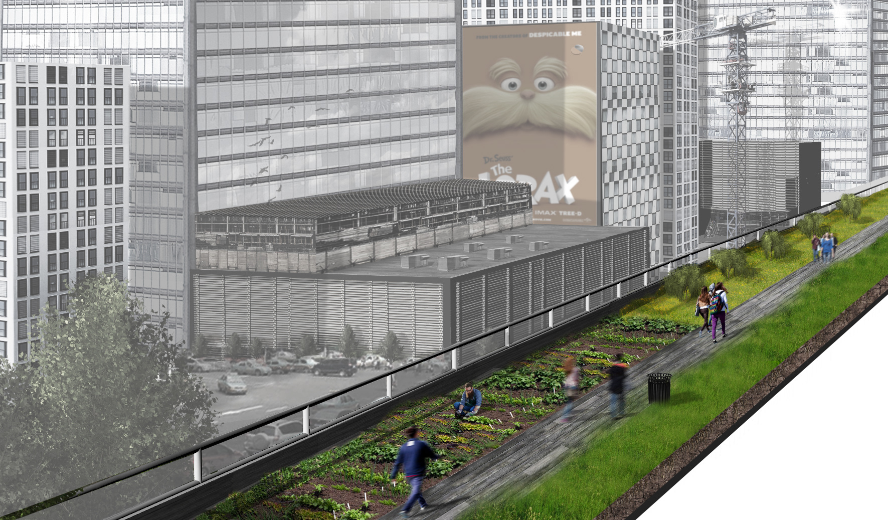
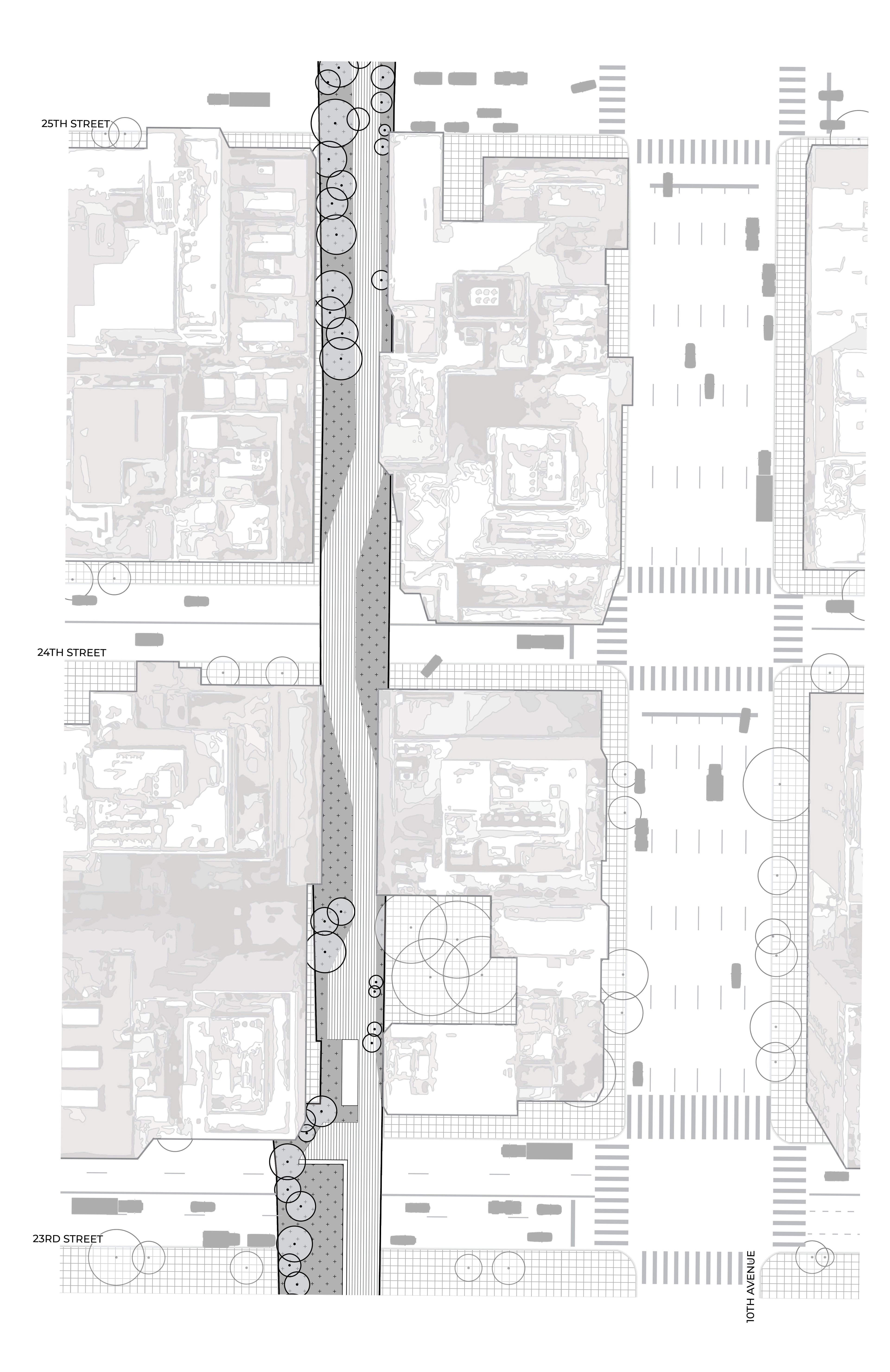
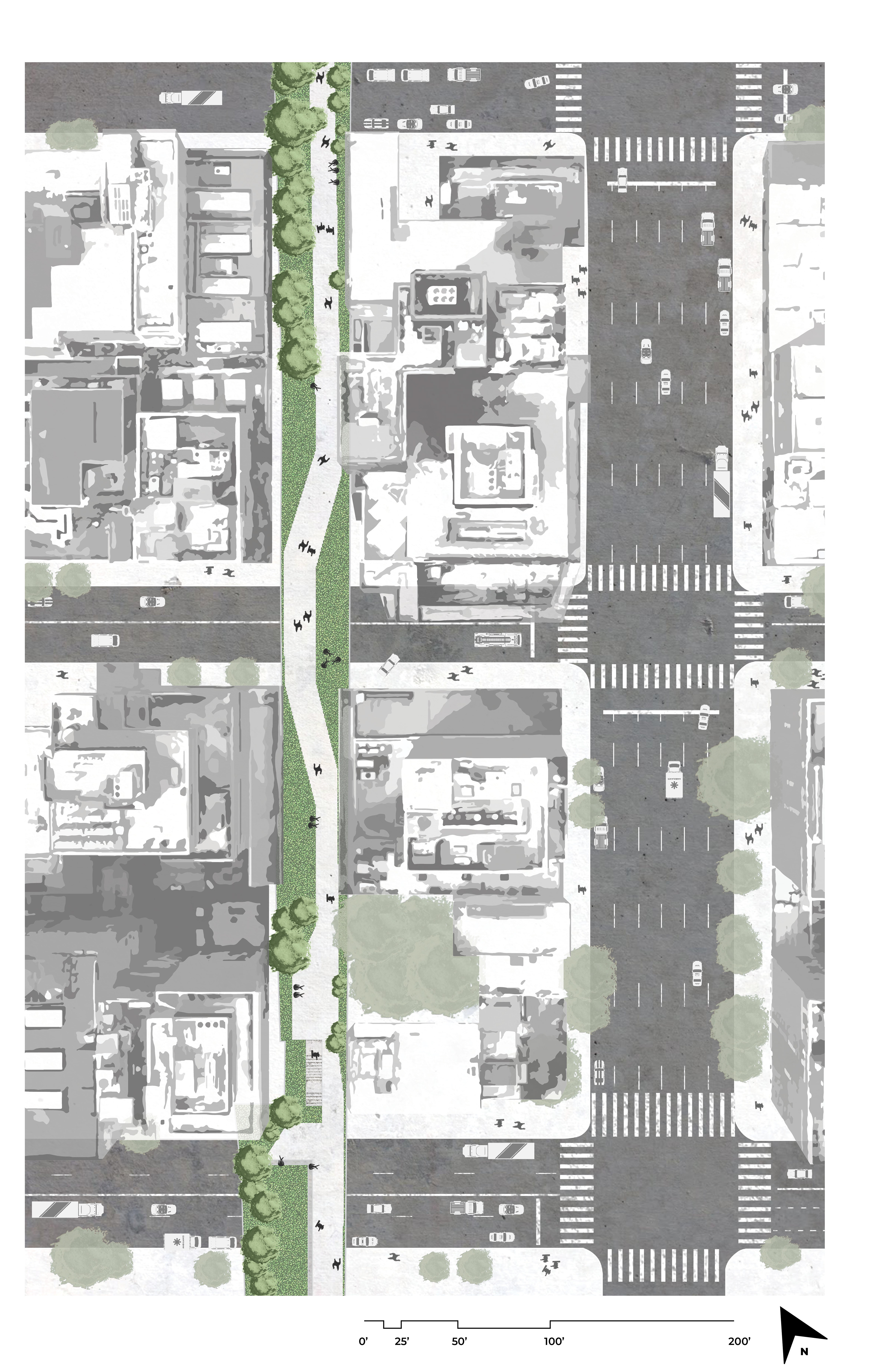
The High Line – Suzanne Angele, Caleb Brackney and Kerri Nickel This project explores the High Line in New York City, which is an elevated linear park, green-way and rail trail. Redeveloped from an old railroad spur, the High Line has become an icon to the city. The High Line was designed by James Corner Field Operations, Diller Scofido + Renfro and Piet Oudolf, with the first phase opening in 2009. Subsequent phases were completed in 2011 and 2014. The High Line passes through several buildings on its 1.45 mile path and crosses 19 city blocks. The deliverables for this research include a scaled site plan of the entirety of the High Line, showing its path on its way through New York City. Along the route, various features are highlighted which add context to the High Line site. To complement the site plan, a detailed plan shows the surface of the High Line, and an example of people circulating throughout the route is included. To understand the proportion and mass of the icon, a section cut near Gansevoort Street exposes the structure of the up-cycled rail trail. This section details one of the most interesting parts of the High Line as it borders the Whitney Museum. A perspective from Gansevoort Street concludes the deliverables, and gives the viewer an idea of the scale of this New York City icon.


